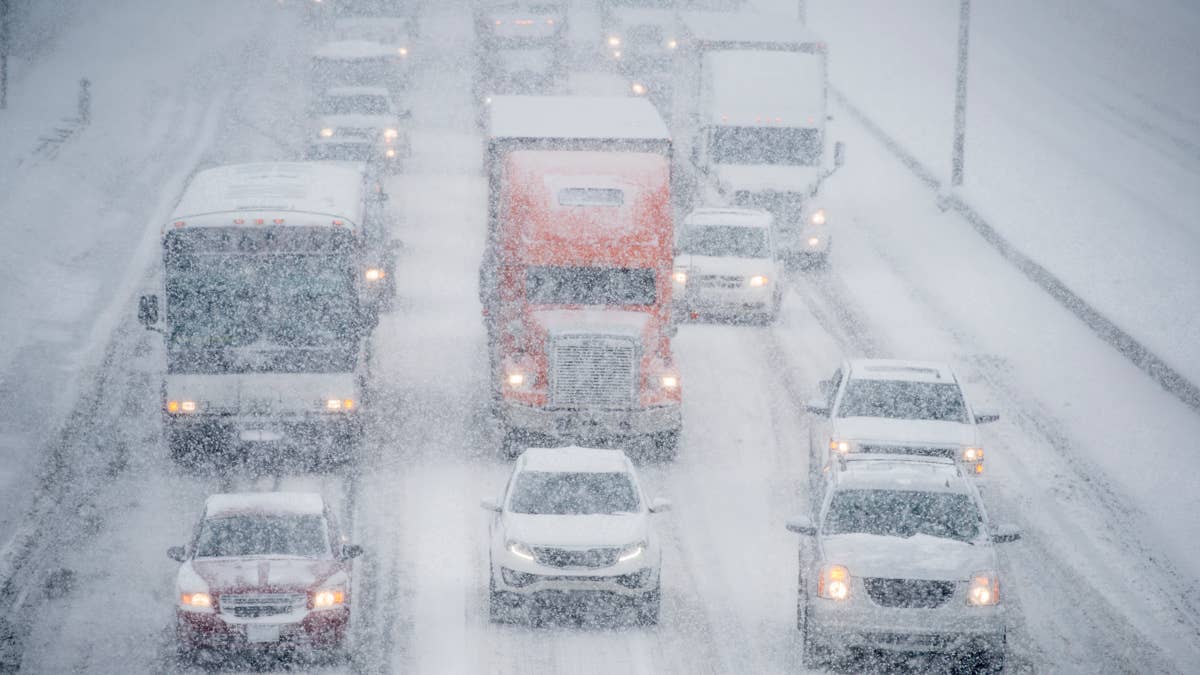
Colorado’s mountain snow is not finished with the weekend. A National Weather Service advisory forecasts 3–7 inches Monday, November 2, for a high-elevation zone including the Eisenhower Tunnel, Berthoud Pass, Breckenridge and Winter Park, putting familiar mountain routes in the path of another snowy travel day.
The advisory runs from 5 a.m. until midnight MST Monday night. Its warning is specific: “Plan on slippery road conditions. The hazardous conditions will impact the Monday morning and evening commutes.”
Related: Southwest Airlines Adds New Platinum Status With a Major Perk for Frequent Flyers
Related: Snow Forecast Through Monday
Monday’s Snow Targets Familiar Mountain Routes
The advisory covers mountains above 9,000 feet, including the mountains of Summit County, the Mosquito Range and Indian Peaks. That elevation boundary matters: the forecast does not promise the same accumulation in every nearby town or valley.
For travelers, the important detail is the overlap between snowfall and both ends of the workday. A trip through the mountains could encounter different conditions from its starting point.
“Slow down and use caution while traveling,” forecasters advise. Check COtrip for current restrictions, closures and road conditions before heading toward a pass or the tunnel.
Related: Scientists Studied 96,000 Adults and Found a Surprising Exercise Longevity Benefit
Related: Cold-Weather Workout Safety
Colder Air Keeps Snow Falling Behind the Storm
OpenSnow meteorologist Alan Smith explains that “a colder northwest flow on the backside of the storm will favor additional snowfall across Colorado and parts of Wyoming.”
His November 2–3 outlook also anticipates lower snow levels as colder air arrives. That regional outlook does not mean every Colorado advisory continues through Tuesday; the tunnel-area advisory currently ends Monday night.
AccuWeather makes the elevation change clear: “Snow levels will initially be very high but will work their way down to some intermediate elevations into early this week,” says Dan DePodwin, vice president of forecast operations.
The payoff for readers is straightforward: an eastbound storm center does not automatically end mountain snowfall.
Related: Patrick Stewart’s Dementia Diagnosis Reveals Warning Signs Many People Overlook
Related: Snow Shoveling and Heart Risk
Tuesday Offers a Break in This Colorado Zone
The NWS zone forecast calls for partly cloudy conditions Tuesday, with highs of 34–44 degrees and gusts up to 35 mph. That forecast describes the weather, not a guarantee that every road will be clear.
For anyone driving Monday, the NWS advises: “Make sure your vehicle is completely clear of ice or snow before starting the trip. Flying snow from cars causes accidents.”
Before leaving, check the forecast for the actual crossing, clear your vehicle and confirm road conditions.
Related: The Clock-Change Sleep Mistake
Related: Tired Every Morning? It Might Be a Specific Form of Circadian Depression