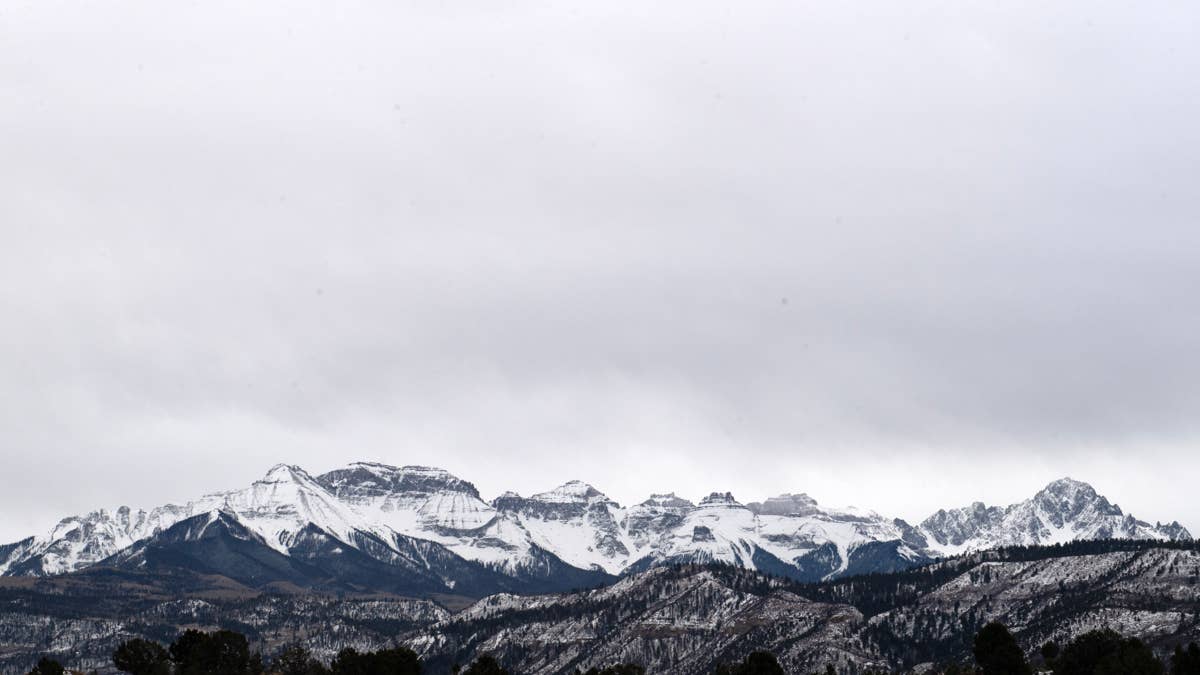
Seven states in the West are under snow or flood alerts this Halloween weekend. The mountains could pick up as much as 18 inches of snow, and parts of the desert could see flash flooding.
As of Saturday afternoon, the National Weather Service had winter storm warnings up in Colorado and Nevada. California, Utah, Idaho and Colorado had winter weather advisories, and flood watches covered parts of Arizona, Nevada, Utah, New Mexico, Colorado and California. It’s part of a busy stretch of weather that has more than 30 states watching for snow and storms this week.
Colorado: Up to 18 Inches in the San Juans
Southwest Colorado has the highest totals. On Saturday morning, NWS Grand Junction turned its watch into a winter storm warning for the Northwest and Southwest San Juan Mountains. Forecasters expect 12 to 18 inches above 10,000 feet, “with locally higher amounts possible,” and gusts up to 45 mph.
The warning starts at 6 a.m. Sunday and ends at noon Monday. The NWS said travel could be “very difficult to impossible,” and the snow will still be falling during the Monday morning commute.
NWS Pueblo put out its own warning for the Eastern San Juans above 10,000 feet. That’s 8 to 14 inches, starting Sunday evening and running into Monday morning. The Gore and Elk Mountains, farther north, are under an advisory for 5 to 10 inches.
Below the snow line, it’s rain. Pueblo said flooding is expected in parts of the Upper Rio Grande Valley and possible in the San Luis Valley.
On Friday, Men’s Journal looked at what the storm could bring to Telluride, Aspen and Vail.
Nevada, California, Utah and Idaho
NWS Elko issued a winter storm warning for the Ruby Mountains and East Humboldt Range in northeast Nevada. They could get 12 to 16 inches above 7,500 feet through Sunday night. That’s an upgrade from the watch issued Friday.
In California, the Sierra is under advisories. Yosemite outside the valley could see 4 to 8 inches between 7,500 and 9,500 feet, and up to 18 inches higher up. Around Lake Tahoe, the forecast is 2 to 5 inches above 7,000 feet and up to a foot on the highest peaks. We wrote about the Tahoe forecast on Friday.
Utah’s Wasatch Mountains south of I-80 and the western Uintas could get 8 to 12 inches above 8,000 feet. In Idaho, the Sun Valley area could see up to 7 inches above about 7,000 feet.
Flash Flood Watches in the Desert
The flood watches reach well beyond the mountains. They include parts of the Phoenix and Tucson areas, Grand Canyon Country, Lake Mead and Lake Havasu, Zion National Park and northwest New Mexico.
NWS Flagstaff said flash flooding is possible in northern Arizona because the ground is already saturated. Most of the watches in Arizona and Nevada last into early Monday.
If you have to drive in the mountains, the NWS says to slow down and keep a flashlight, food and water in the car. And if a road is flooded, don’t drive through it.